About This Quiz
Some people think the world of themselves and have their whole lives mapped out. Others just spend a lot of time thinking about the world and staring at maps. If you're one of these atlas aficionados, you probably have a pretty good idea of what the prominent features of our planet look like - and the countries that span its surface. That's no small feat. With over 200 countries in existence today, it's hard not to get all those lines in the sand (and across rivers, fields, mountains, and seas) mixed up.
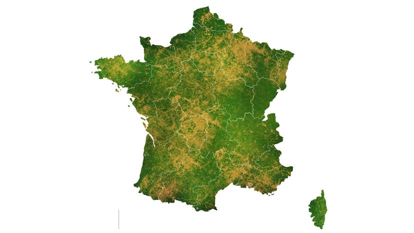
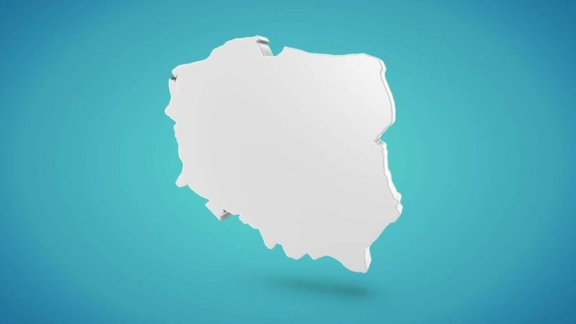
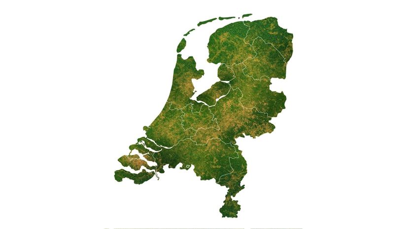
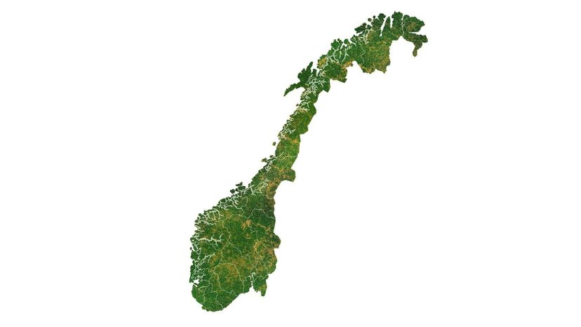
So how did the world end up with so many patches of national territory that have such weird shapes? About 400 years ago, the Holy Roman Empire and several other European powers ratified the Peace of Westphalia, which brought an end to the Thirty Years' War in Central and Northern Europe. This included the forerunners of major European states today such as Poland, Norway, and The Netherlands. Could you recognize the outlines of those countries as they are now, nevermind back then? The Westphalian treaties also established the principle that each nation state has sovereignty over its domestic affairs and territory as international law - which gave birth to the modern nation-state as a coherent entity. Following this, national borders as we know them began to emerge first in Europe - among them, the borders of France. Do you know what the borders of France look like?
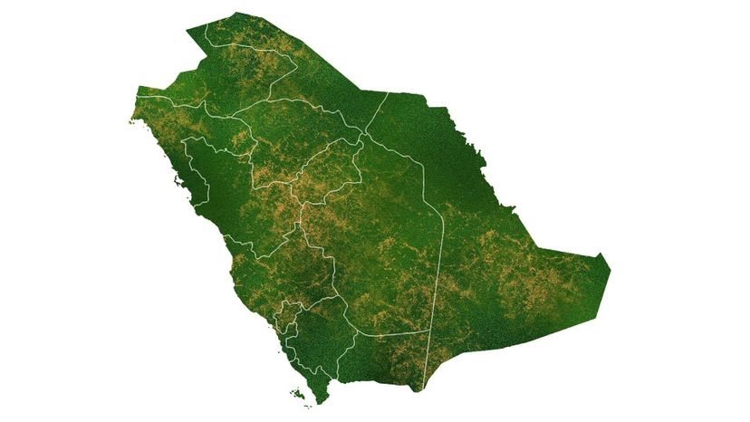
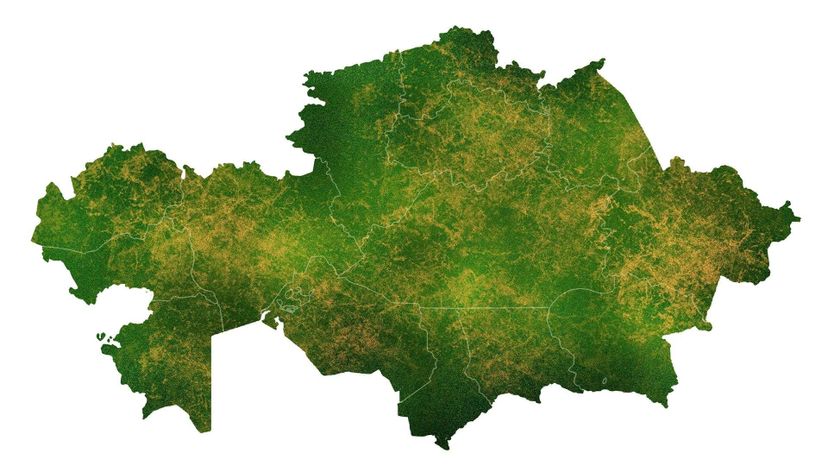
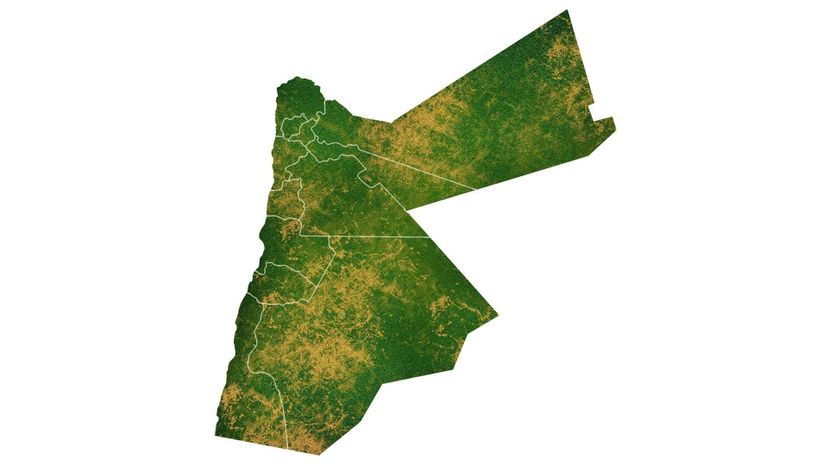
This process then expanded all over the globe as France and other European imperial powers exported this idea of national sovereignty to the Americas, Africa, and Asia. However, history didn't stop there. Countless wars and arbitrary territorial agreements between colonial powers have led to the creation of countries whose borders sometimes make no sense or are completely inexplicable. Jordan and Saudi Arabia are both examples of this phenomenon. Do you remember what the borders of those two countries look like? What about Kazakhstan, whose borders partly reflect exacting attempts by Soviet ethnographers to keep distinct human populations intact?
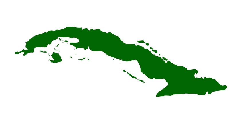
On the other hand, some countries are lucky enough to be defined partly or even entirely by natural geographic features, which can make them very easy to identify. They say no man is an island - but the nation of Cuba is! And in Australia's case, an entire continent. Would you be able to pick these two countries out of a lineup based on just their silhouettes?
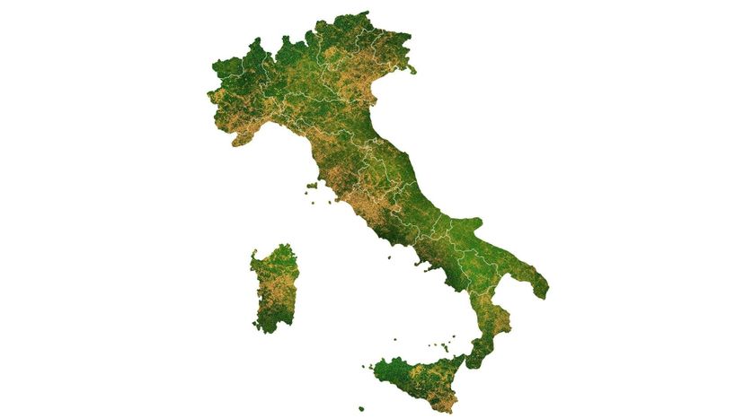
And Italy is famous the world over for its distinctive shape. How many countries with a long history of incredible soccer players can claim to look like a boot kicking a ball?
Regardless of precisely what they look like, there's a profound story behind each country's modern borders. And if you know what to look for, these ultimately imaginary lines can tell you something about a nation's politics and culture. How keen is your eye? Can you tell one country apart from another? Take this quiz to find out!
Advertisement
Advertisement
Advertisement
Advertisement
Advertisement
Advertisement
Advertisement
Advertisement
Advertisement
Advertisement
Advertisement
Advertisement
Advertisement
Advertisement
Advertisement
Advertisement
